High-accuracy topographic surveys providing the elevation and terrain data essential for engineering design, environmental studies, and infrastructure development.
Real projects, real terrain — our team delivers precision on every site
.jpeg)
.jpeg)
.jpeg)
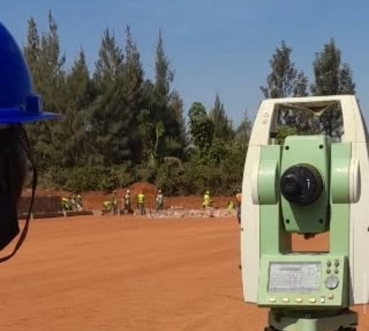
Topographic surveys capture the shape and elevation of the land — the starting point for virtually every engineering, construction, and environmental project. Without accurate topo data, designs are guesses. With Megisha Landmark's surveys, every decision is grounded in reality.
We produce detailed Digital Terrain Models (DTMs), contour maps, and 3D point clouds that engineers, architects, and planners can immediately use in their design software. Our data integrates seamlessly with AutoCAD Civil 3D, ArcGIS, Revit, and all major platforms.
From a small residential plot to a 100-kilometre road corridor, our scalable survey approach delivers the right level of detail at the right cost.
Every terrain challenge, covered with precision and efficiency
Detailed contour plans at 0.25m, 0.5m, 1m, and 2m intervals depending on terrain and project requirements, ready for engineering use.
High-resolution DTMs and Digital Surface Models (DSMs) from ground survey or drone photogrammetry for cut-and-fill design and drainage analysis.
Long-distance corridor surveys for roads, pipelines, power lines, and water mains, including cross-sections at specified intervals.
Bathymetric and riverbank surveys for bridge design, flood modelling, dam catchment analysis, and water resource management.
UAV photogrammetric surveys delivering orthophoto mosaics, DSMs, and point clouds over large areas in a fraction of traditional survey time.
Topographic data collection for EIA, slope stability assessment, erosion risk mapping, and wetland delineation studies.
Our topographic data powers projects across every sector
Roads, bridges, dams, and pipelines all start with topo data
Site grading, drainage design, and master planning
Irrigation design, terracing, and land levelling
Solar farm siting, transmission line routing, hydro studies
EIA, watershed management, and erosion control
Urban planning, national infrastructure, land-use planning
Professional, industry-standard outputs ready to use in your design workflow
Full technical report including methodology, accuracy assessment, and control network data.
AutoCAD DWG files with contours, spot heights, features, and coordinate grid.
Shapefile and GeoTIFF datasets compatible with ArcGIS and QGIS.
LAS/LAZ point cloud files for BIM integration and detailed 3D modelling.
High-resolution geo-referenced aerial imagery (drone surveys).
Longitudinal and transverse cross-section plots at client-specified intervals.