Comprehensive surveying and spatial planning support for sustainable urban growth and inclusive rural development across Rwanda.
Rwanda's Vision 2050 envisions a transformed, urbanised, and prosperous nation. Achieving that vision demands precise spatial data and expert surveying support at every level — from the planning of new city districts to the demarcation of rural land consolidation blocks.
Megisha Landmark is deeply embedded in Rwanda's development landscape. We work with district authorities, real estate developers, government ministries, development banks, and international organisations to provide the surveying backbone that development projects need.
Our integrated approach combines cadastral surveys, topographic mapping, GIS analysis, and participatory boundary mapping to deliver development projects that are spatially sound, legally compliant, and community-ready.
Tailored surveying solutions for both urban transformation and rural development
Topographic and cadastral surveys to support the preparation and revision of urban master plans, structural plans, and local development plans.
Layout surveys for new housing estates and residential subdivisions, including road reserves, service corridors, and plot demarcation.
Pre-expropriation boundary and valuation surveys for public infrastructure projects, including affected parcel inventories and compensation maps.
Formalisation surveys for informal settlements — mapping existing boundaries, structures, and land uses to support tenure security programmes.
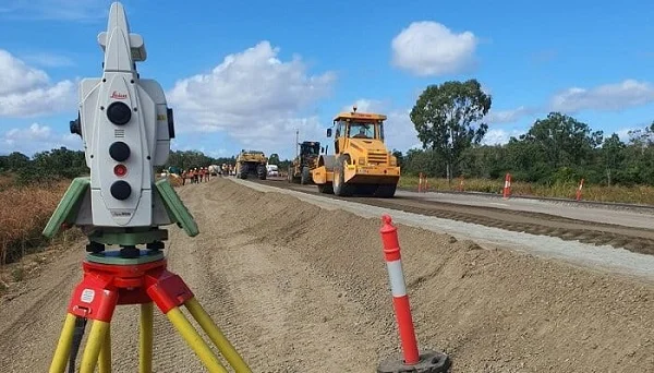
Alignment surveys, road reserve demarcation, and utility corridor mapping for urban infrastructure development and upgrading.
Periodic satellite and field-based surveys to monitor land-use change in expanding urban areas for planning and enforcement purposes.
Parcel demarcation and cadastral surveys for Rwanda's Land Consolidation Programme, supporting cooperative farming and agricultural mechanisation.
Surveys for irrigation schemes, terracing programmes, rural access roads, and marshland development projects across Rwanda's provinces.
Participatory boundary demarcation of community land, cooperative land, and umudugudu (village) boundaries with full community engagement.
Site surveys for rural schools, health centres, water supply systems, and off-grid energy installations in remote locations.
Mapping of reforestation zones, agroforestry blocks, and national forest boundaries for land administration and carbon credit projects.
Topographic surveys of rural watersheds for soil and water conservation planning, watershed restoration, and irrigation design.
Measurable contribution to Rwanda's urban and rural transformation
Urban and rural development surveys across all provinces
Deep local knowledge and strong institutional relationships
Nationwide capacity from Kigali to all four provinces
Surveys delivered on time and accepted by authorities
Our services directly support Rwanda's key development frameworks and policies
Supporting Rwanda's long-term goal of becoming a high-income country through urban development and rural transformation.
Delivering surveys that enable productive land use, housing development, and economic zone establishment.
Supporting planned settlement, land consolidation, and the Imidugudu (village clustering) policy through spatial planning surveys.
Providing the cadastral and topographic base data needed to implement and monitor Rwanda's national Land Use Master Plan.